Planned inspections on E6 and E18 highways with use of drones
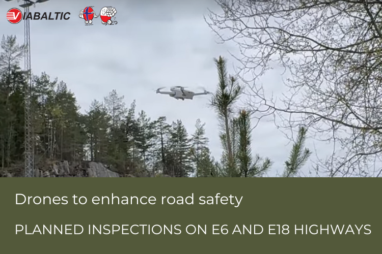
In the coming days, drivers along heavily trafficked roads near Oslo, such as the E6 and E18 highways may notice small drones flying overhead.
These drones are part of a planned inspection by the Norwegian Public Roads Administration (Statens vegvesen), and there is no need for concern. Their purpose is to assess the stability of rock cuttings along these major roads.
Small drones, weighing only 249 grams, are assisting in assessing the stability of rock cuttings. This digital inspection method is part of a pilot project aimed at improving the efficiency of inspecting these geological features.
Traditionally, geologists conduct physical inspections with the use of lifts and cranes to ensure the stability of the rocks and assess the risk of landslides. But it requires redirecting traffic, which is time-consuming and expensive for both the administration and the road users.
The use of drones presents a more efficient alternative. The drones fly 10 meters above the road, and collect data to document the condition of the rock cuttings without disrupting traffic.
The high quality of the images enable the creation of digital 3D models of the rock cuttings which provides geologists detailed visual representations, and allows them to recognize where rock stabilization is most needed.